Fieldwork Sites
In line with our interest in visual research methods, we have used photography to document the culture and landscape of the fieldsites where the Pathways team operates.
The Pathways Project is focusing on two research sites in the UK:
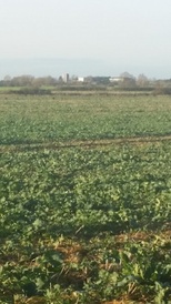
Cambridgeshire Fens Farmland
Norfolk Broads
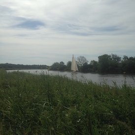
The Broads is a large, protected wetland, stretching across the eastern end of the English counties of Norfolk and Suffolk. A network of slow-moving rivers, lakes, and drainage channels wend their way through a patchwork of flood plains and higher ground; creating a characteristic pattern of reed bed, wet grassland, alder swamp, farmland, and open water. This range of habitats supports some of the highest levels of biodiversity in the country. The length of navigable waterways and the rich wildlife attract around 8 million tourists every year; an important source of income in an area where traditional industries – such as reed cutting and eel catching – have long been in decline. The urbanisation and industrial agriculture that have replaced historic patterns of land use have had a detrimental impact upon the health of this wetland ecosystem; impacts that land managers today are looking to mitigate. The region is managed by the Broads Authority, a statutory body responsible for both conservation and navigation in the area. As much of the Broads is just above, at, or below sea level, this landscape is at the forefront of climate change, with many areas being threatened by storm surges, saline incursions, and rising sea levels.
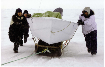
As part of the project we linked children in these areas to their contemporaries in other regions of the world with very different environmental pressures:
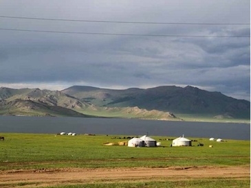
Mongolia
Alaska
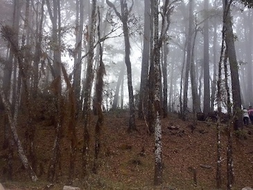
Mexico